
Classified, survey-grade point clouds captured on our own aircraft and processed entirely in house, from flight planning to final delivery. One team owns the whole chain, so your point cloud arrives faster and answers to a single accountable partner.
We collect airborne LiDAR with survey-grade sensors, including the RIEGL VQ-1560 II-S, on our own fixed-wing aircraft — capturing dense, accurately positioned point clouds, then classifying and processing them in house into the deliverables your team needs.
Ground, vegetation, buildings, and more, classified to your scheme and ready for design and analysis.
Bare-earth and full-feature DEMs and DSMs, plus contours, breaklines, and hydro-flattened surfaces.
High-resolution RGB and NIR orthomosaics captured alongside LiDAR, with radiometric thermal where the project calls for it.
A cross-fire scan pattern cuts shadowing in urban canyons and dense canopy, and an integrated IMU and GNSS keeps positioning tight across the whole flight. Full waveform processing improves classification of ground, vegetation, and structures, and dual-channel scanning increases point density and efficiency without sacrificing area coverage.
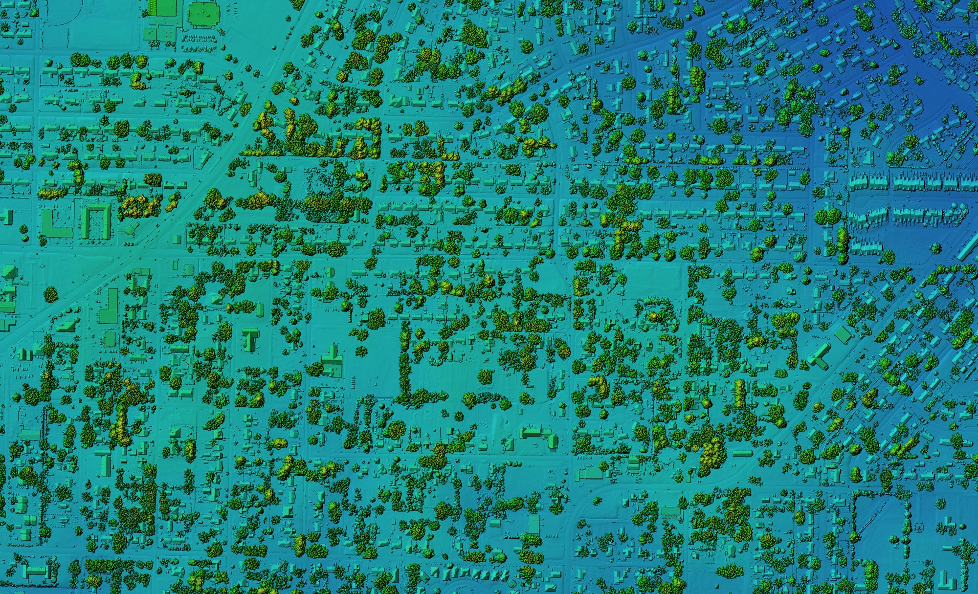
Colorized elevation model — buildings and canopy resolved from classified point returns
Increased point density and efficiency across every flight.
Improves accuracy in complex terrain and urban canyons.
Better classification of ground, vegetation, and structures.
Massive area coverage per flight without losing precision.
Survey-grade georeferencing across the entire mission.
Vegetation penetration for true bare-earth modeling.
Design-grade surfaces for road, rail, and pipeline routes.
Bare-earth models and hydro-flattened surfaces for hydrology studies.
Canopy height, biomass, and density across large areas.
Current, high-density basemaps for cities, counties, and agencies.
Clearance, encroachment, and structure inventory along the network.
Volumetrics and grading surfaces for large or hazardous sites.
The RIEGL VQ-1560 II-S captures up to 2.66 million measurements per second and covers up to 1,130 square kilometers per hour. Because we own the aircraft, the sensor, and the processing, your data answers to one accountable team.
We own every step, from flight planning and sensor operation to in-house processing and final delivery. That vertical integration keeps quality consistent and puts accountability in one place.