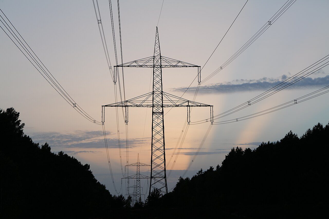
LiDAR and high-resolution imagery for vegetation management, wildfire mitigation, and transmission and distribution networks.
Vegetation encroachment and aging infrastructure are where utility risk concentrates, and ground crews can only cover so much. Horizonview flies your network with LiDAR and high-resolution imagery, then turns the raw data into the encroachments, clearances, and conditions your team can act on.
Grow-in and fall-in risk along T&D corridors, scored and mapped span by span.
Conductor position, sag, and clearance checked against your design envelope.
Canopy density and fuel across the right of way, plus pole and tower inventory.
LiDAR sees through canopy to the wire and the ground in a single pass, which is why it is the standard for clearance analysis. We capture the point density these measurements demand across wide service territories, so even a large network is a few flights rather than a season of truck rolls.
Prioritized encroachments and clearance violations.
Fuel, canopy, and risk along high-threat corridors.
Conductor, structure, and span condition.
Condition and ground movement over time.
How the corridor shifts between capture cycles.
Encroachments and conditions, organized and trackable.
We own the aircraft, the sensors, and the processing, with delivery through the Insight™ platform. Encroachments, clearances, and conditions, organized and ready for your team.
Get a quote →