
Survey-grade elevation data for DOTs and federal and state programs, captured and processed by one accountable team.
Public agencies need elevation data they can defend, with documented accuracy, clean metadata, and a clear chain of custody. Horizonview owns the aircraft and the sensors and processes everything in house, so the people who flew your project are the same people who answer questions about it.
Delivered to your specified classification scheme, with USGS-style and project-specific accuracy reporting.
A documented IMU and GNSS workflow and clean metadata give you positional accuracy you can certify.
Bare-earth DEMs, hydro-flattened surfaces, contours, and breaklines, ready for design and review.
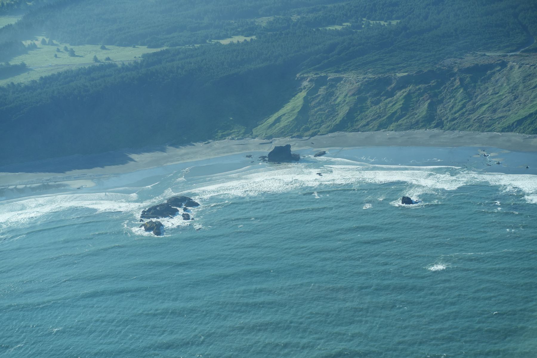
We mapped Oregon's coastline end to end, capturing high-density LiDAR and imagery across a long, complex shoreline corridor. The project shows what vertical integration buys an agency: consistent accuracy across a huge area of interest, a single point of accountability, and a fast, defensible delivery.
Design, asset, and corridor work.
Bare-earth models and shoreline change.
Hydrology and habitat mapping.
High-density refreshes at scale.
Classified data to your specification.
Rapid capture over impacted areas.
We own the aircraft, the sensors, and the processing, with delivery through the Insight™ platform. Classified point clouds, models, and imagery, documented and ready for review.
Get a quote →