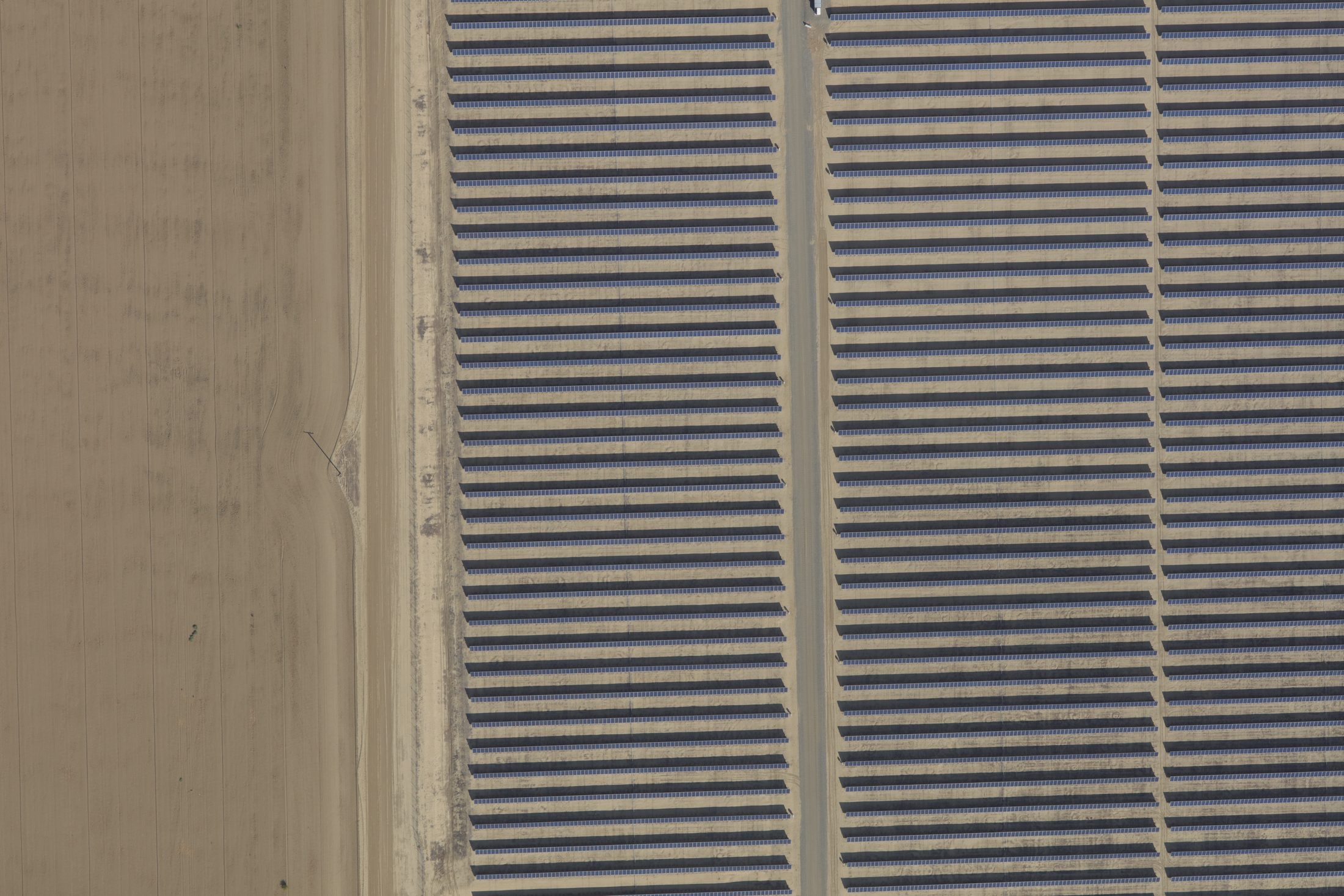
Radiometric aerial thermography and high-resolution RGB imagery for utility-scale solar, backed by in-house ASNT Level III thermographers and the Titan 1280 LWIR sensor.
Heat reveals what visual imagery cannot: a failing panel, a loose connector, an underperforming string. We fly calibrated thermal and RGB sensors over solar sites and process the data in house, delivering full-site orthomosaics that place thermal anomalies alongside high-resolution visual context.
Full-site thermal maps with per-pixel temperature data.
Visual context paired directly with thermal anomalies.
In-house ASNT Level III thermographers, our own aircraft and sensors, and processing under one roof mean calibrated, defensible results and one accountable team from tasking to delivery.
We own every step, from flight planning and sensor operation to in-house processing and final delivery. That vertical integration keeps quality consistent and puts accountability in one place.
Get a quote →