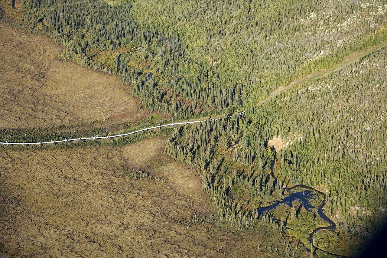
Survey-grade LiDAR, thermal, and high-resolution imagery for pipeline corridors, facilities, and rights of way — captured from our own aircraft and processed in house.
Linear assets and remote facilities are hard to cover from the ground. We fly manned fixed-wing aircraft over pipeline corridors and sites, capturing classified LiDAR point clouds, orthophotography, and thermal imagery in a single mobilization. Everything is processed in house, so you receive consistent, decision-ready data across the full route.
Survey-grade elevation and structure data along the full corridor.
Distortion-free, georeferenced imagery across facilities and rights of way.
Radiometric thermal for anomaly detection across infrastructure.
RGB orthophotography for visual context, radiometric thermal for what the eye can't see — captured in the same flight.
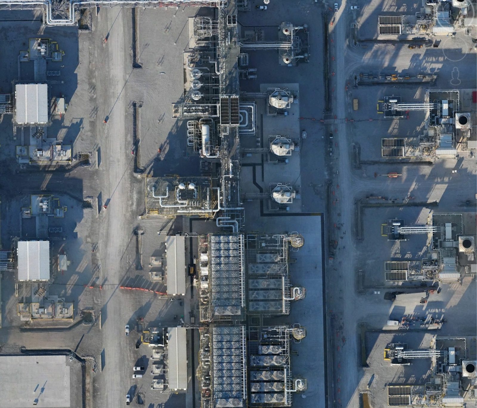 RGB Orthophotography
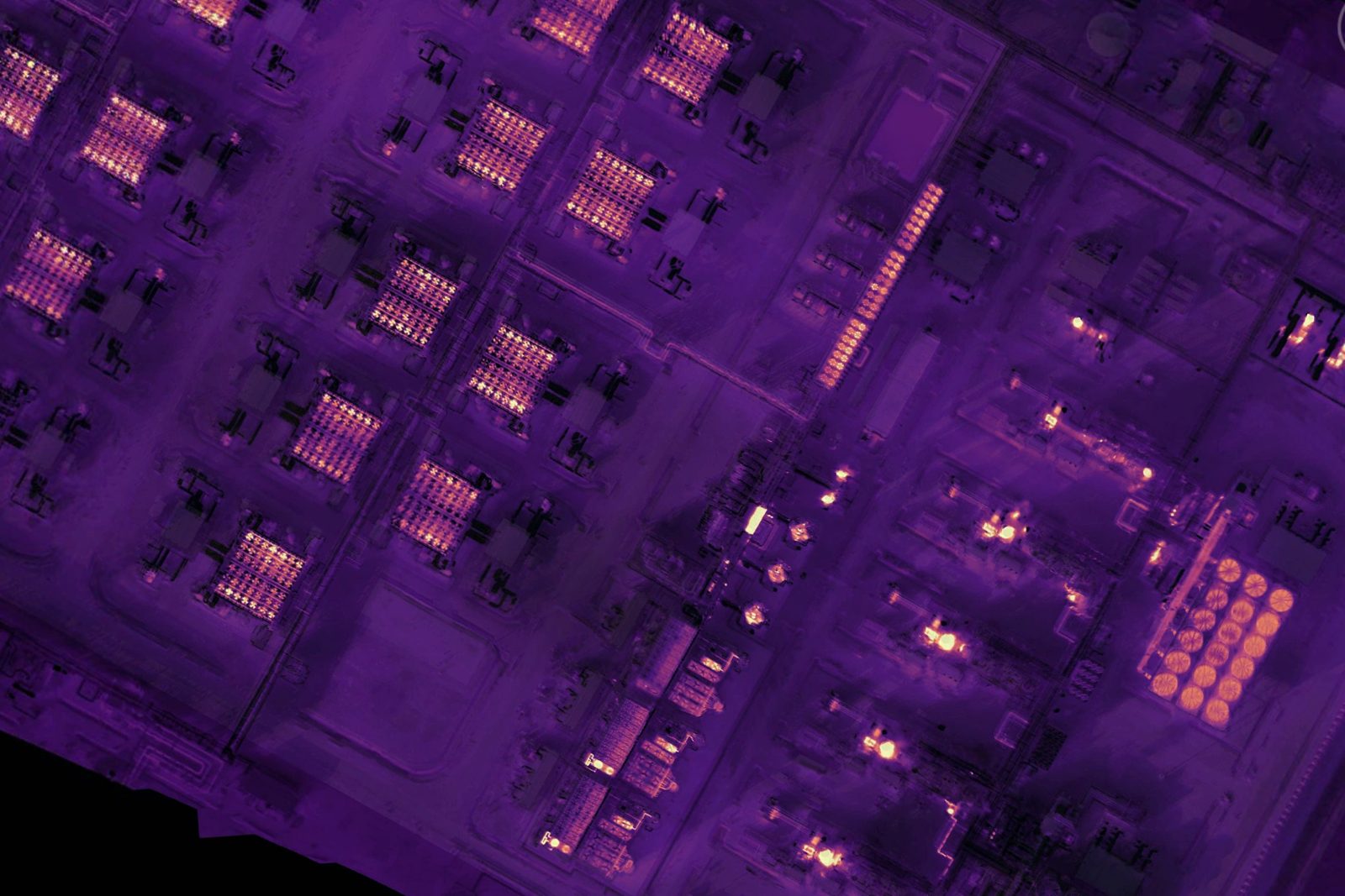 Radiometric Thermal
We own the aircraft, the sensors, and the processing. That means tighter quality control, faster mobilization to remote routes, and one accountable team from flight planning to final delivery.
We own every step, from flight planning and sensor operation to in-house processing and final delivery. That vertical integration keeps quality consistent and puts accountability in one place.
Get a quote →