
A vertically integrated aerial data company — we own and operate our fixed-wing fleet, sensors, and processing end-to-end for infrastructure, energy, and corridor mapping across the United States.
We own and operate our aircraft, sensors, and processing workflows end-to-end. That control means we set the schedule, own the quality, and stand behind every deliverable — no brokers, no intermediaries, no hand-offs.
Fixed-wing aircraft operated directly — no brokers, no intermediaries.
RGB, thermal & LiDAR sensors configured per mission.
Processing, QA, and delivery managed by our own experts.
AI + human analysis delivered through a purpose-built portal.
The Value: Complete oversight of our fleet means absolute reliability and cost-efficiency for your project.
Instead of relying on third-party charter networks or external aircraft providers, we own and operate our entire fleet. This direct-ownership model gives us full control over scheduling, maintenance, and quality assurance. By managing the entire process in-house, we eliminate external markups and pass those direct savings and efficiencies straight to you.
A versatile fleet of fixed-wing aircraft, each optimized for a specific mission profile — from rapid-deployment agility to large-scale, multi-sensor survey capability.
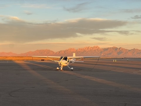
Agile, low-cost capture for targeted, repeat missions.
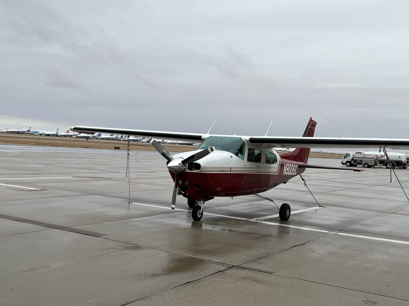
The backbone of large-scale operations. Supports RGB + thermal simultaneously.

Dedicated LiDAR & high-resolution imaging for wide-area and corridor surveys.
A professional-grade sensor ecosystem across thermal, RGB, multispectral, and LiDAR — each selected for precision, reliability, and scalability.
Point clouds, DEM, DSM, contours & hydro-breaklines.
RGB & thermal — centimeter-level accuracy, distortion-free.
Defect detection by Level III thermographers.
AI + human analysis via portal or standard GIS formats.
Large-scale inspection and thermal anomaly detection.
Transmission lines, gas pipelines, and ROW mapping.
Cluster scanning reduces per-site cost and mobilization time.
Rapid quoting, flexible delivery, and scalable capacity for ongoing programs. Tell us about your site and we'll scope it.