Most LiDAR projects bounce between a flight vendor, a sensor operator, and a separate processing house, and every handoff adds time and cost. Horizonview owns the whole chain. We fly our own fixed-wing aircraft, operate the RIEGL VQ-1560 II-S, and process every deliverable in house, so your point cloud arrives faster and answers to one team.
From Flight to Point Cloud
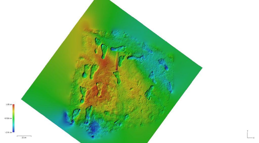
Classified Point Clouds
Ground, vegetation, buildings, and more, classified to your scheme and ready for design and analysis.
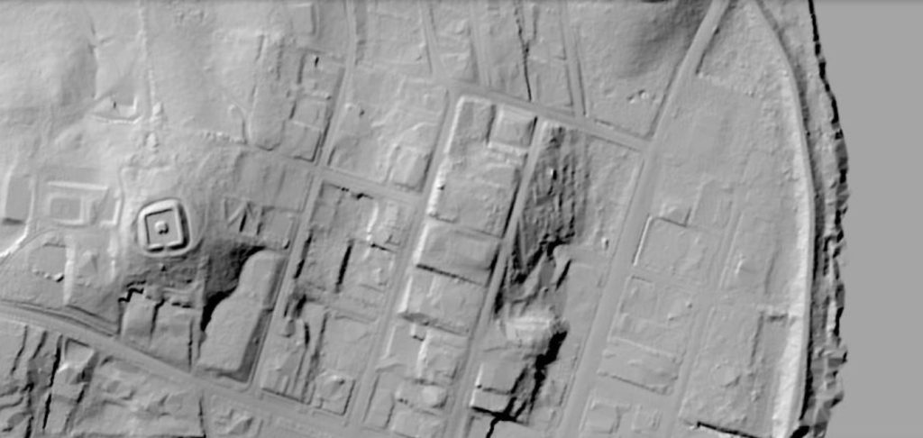
Elevation and Surface Models
Bare-earth and full-feature DEMs and DSMs, plus contours, breaklines, and hydro-flattened surfaces.
Imagery on the Same Pass
High-resolution RGB and NIR orthomosaics captured alongside LiDAR, with radiometric thermal where the project calls for it.
Data You Can Build On
The RIEGL VQ-1560 II-S captures up to 2.66 million measurements per second at a 4 MHz pulse rate and covers up to 1,130 square kilometers per hour. A cross-fire scan pattern cuts shadowing in urban canyons and dense canopy, and an integrated IMU and GNSS keeps positioning tight across the whole flight. The result is dense, accurately georeferenced data your survey and GIS teams can trust.
Where LiDAR Mapping Fits
Transportation and corridors: design-grade surfaces for road, rail, and pipeline routes.
Floodplain and watershed: bare-earth models and hydro-flattened surfaces for hydrology studies.
Forestry and vegetation: canopy height, biomass, and density across large areas.
Planning and basemaps: current, high-density basemaps for cities, counties, and agencies.
Utilities and infrastructure: clearance, encroachment, and structure inventory along the network.
Engineering and earthworks: volumetrics and grading surfaces for large or hazardous sites.
From Sky to Insight™
We fly our own fixed-wing aircraft and process every deliverable in house, with delivery through the Insight™ platform. Point clouds, models, and imagery, organized and ready to put to work.