A single survey tells you where things stand today. The value compounds when you fly the same site again and measure what changed. Horizonview captures repeatable, accurately positioned data so you can track volumes, footprints, and conditions over weeks, quarters, or years, all from one consistent source.
What We Monitor
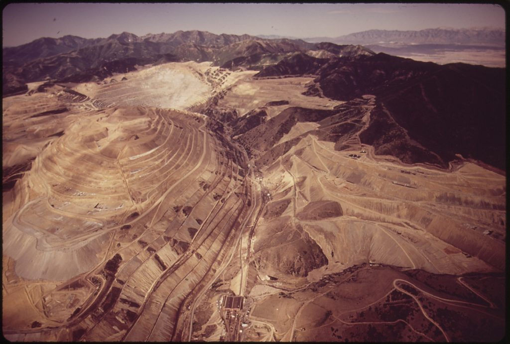
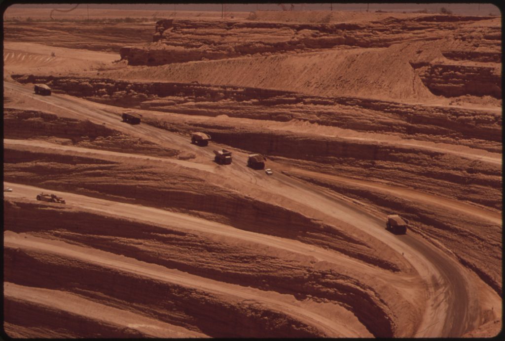
Volumes and Stockpiles
Material and stockpile volumes, with change measured between flights.
Sites and Footprints
Energy facility, data center, and construction footprints tracked through buildout.
Earthworks and Ground
Grading, disturbance, and ground movement across the site over time.
Why Repeatable Capture Matters
Because we own the aircraft and the sensors and process in house, every flight uses the same workflow and the same accuracy standard. That consistency is what makes change detection trustworthy. Tight IMU and GNSS positioning means a difference in the data reflects a real difference on the ground, not a difference in method.
What You Can Track
Stockpile and material volumes between capture cycles.
Energy and LNG facility footprint and buildout progress.
Data center construction and expansion over time.
Site grading, earthworks, and disturbance tracking.
Thermal signatures for energy and equipment monitoring.
Insight platform: every capture alongside the last for easy comparison.
From Sky to Insight™
We own the aircraft, the sensors, and the processing, with delivery through the Insight™ platform. Each capture lands alongside the last, so trends and changes are easy to pull and share.