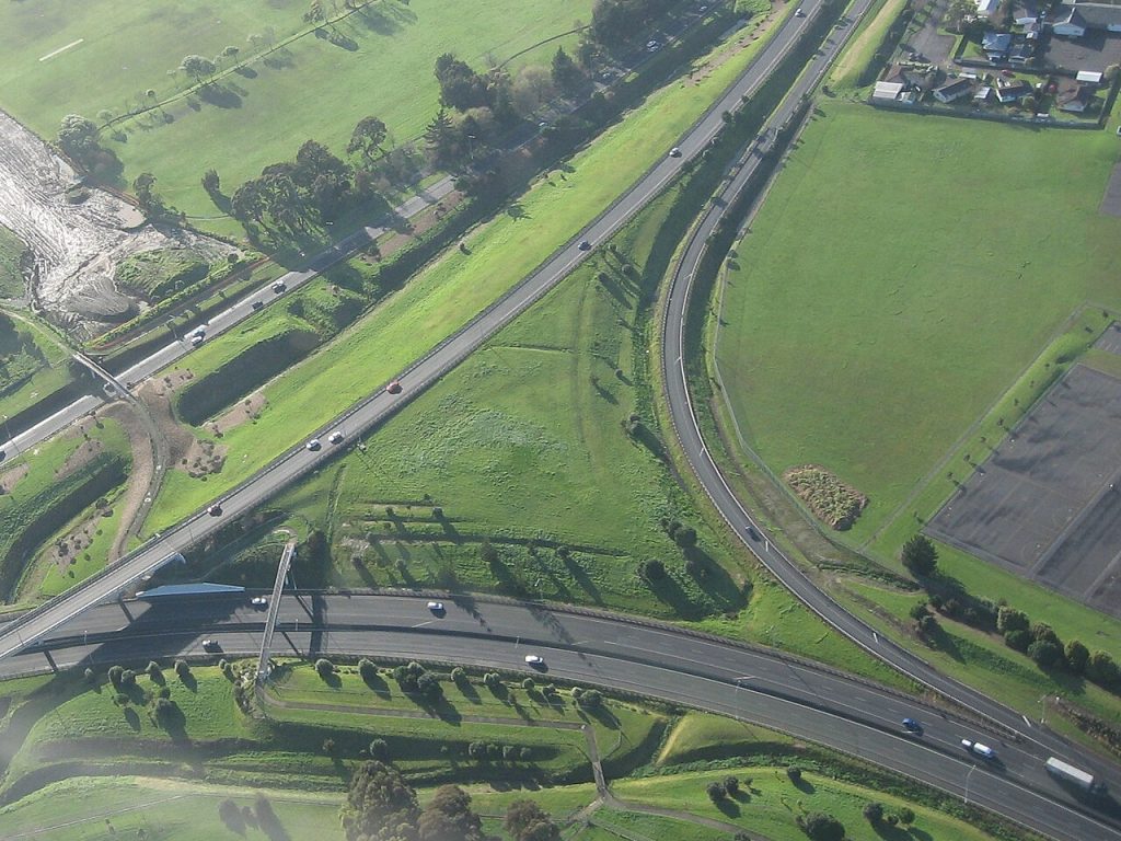
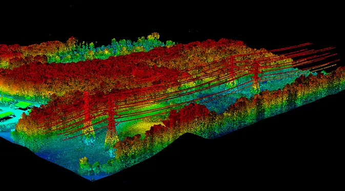
Corridor LiDAR mapping, orthophotography, and change detection for highways, rail, and transportation infrastructure, captured from our own aircraft and processed in house.
Transportation corridors demand accurate, current elevation and imagery over long, linear areas. We fly survey-grade LiDAR and large-format cameras to produce topographic models, orthophotography, and 3D data that engineering and planning teams can build on, processed in house to federal and state specifications.
Deliverables
Corridor LiDAR
Survey-grade topographic point clouds and bare-earth models along road and rail alignments.
Orthophotography
High-resolution, georeferenced imagery for design, right-of-way, and asset management.
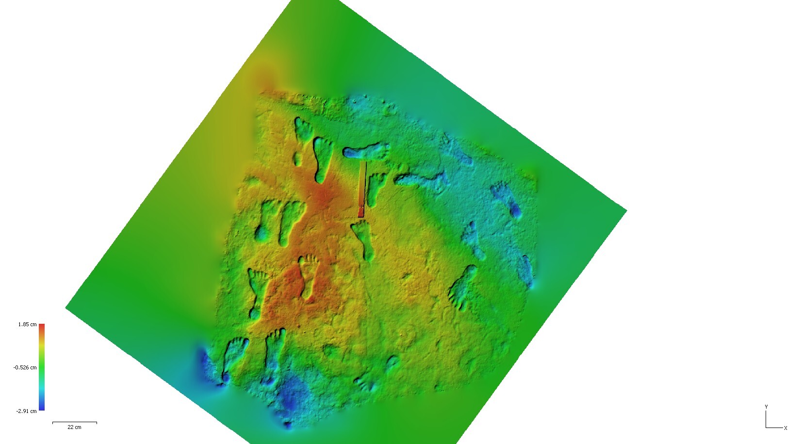
Volumetrics & Change
Earthwork volumes and change detection tracked across capture cycles.
Built on Vertical Integration
We own the aircraft, sensors, and processing, so corridor projects get consistent accuracy, dependable scheduling, and a single accountable partner from flight planning to final delivery.
We own every step, from flight planning and sensor operation to in-house processing and final delivery. That vertical integration keeps quality consistent and puts accountability in one place.