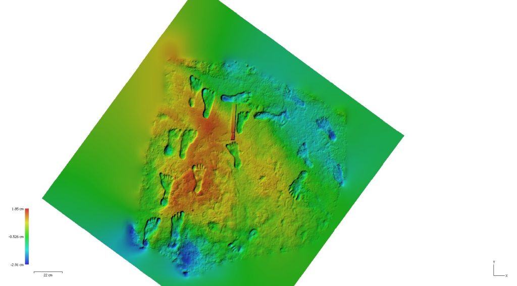
LiDAR sees the world in three dimensions. We fly the RIEGL VQ-1560 II-S on our own fixed-wing aircraft, capturing dense, accurately positioned point clouds, then classify and process them in house into the deliverables your team needs.
LiDAR Deliverables
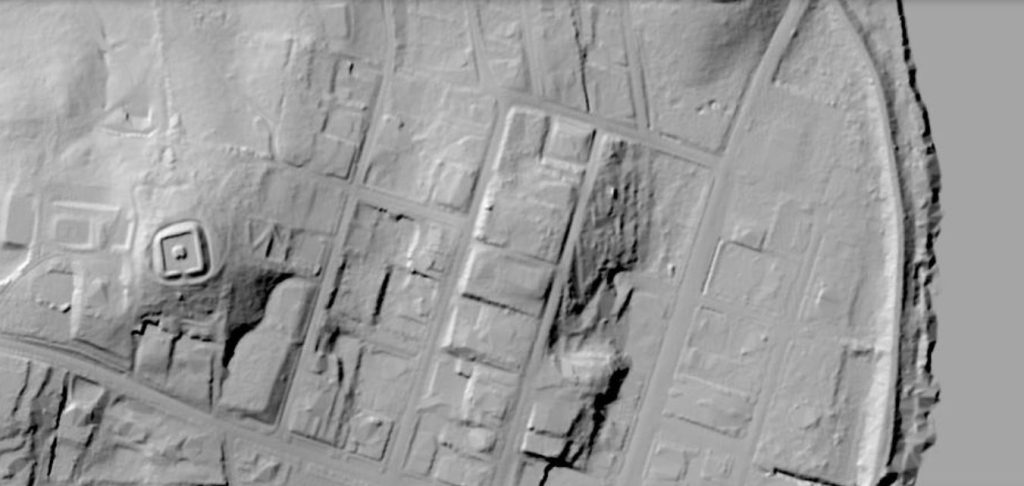
Classified Point Clouds
Ground, vegetation, buildings, and more, classified to your scheme and ready for analysis.
Elevation and Surface Models
Bare-earth and full-feature DEMs and DSMs, contours, breaklines, and hydro-flattened surfaces.
Imagery on the Same Pass
High-resolution RGB and NIR orthomosaics captured alongside LiDAR in a single mission.
Built on Vertical Integration
The RIEGL VQ-1560 II-S captures up to 2.66 million measurements per second and covers up to 1,130 square kilometers per hour. Because we own the aircraft, the sensor, and the processing, your data answers to one accountable team.
We own the aircraft, the sensors, and the processing, with delivery through the Insight™ platform. Point clouds, models, and imagery, ready to put to work.