Horizonview provides developers and engineers with the clarity they need to design, plan, and build efficiently.
From initial site selection to final pre-construction verification, Horizonview’s aerial imagery and analytics reduce uncertainty, uncover risks early, and provide the data foundation for every successful project.
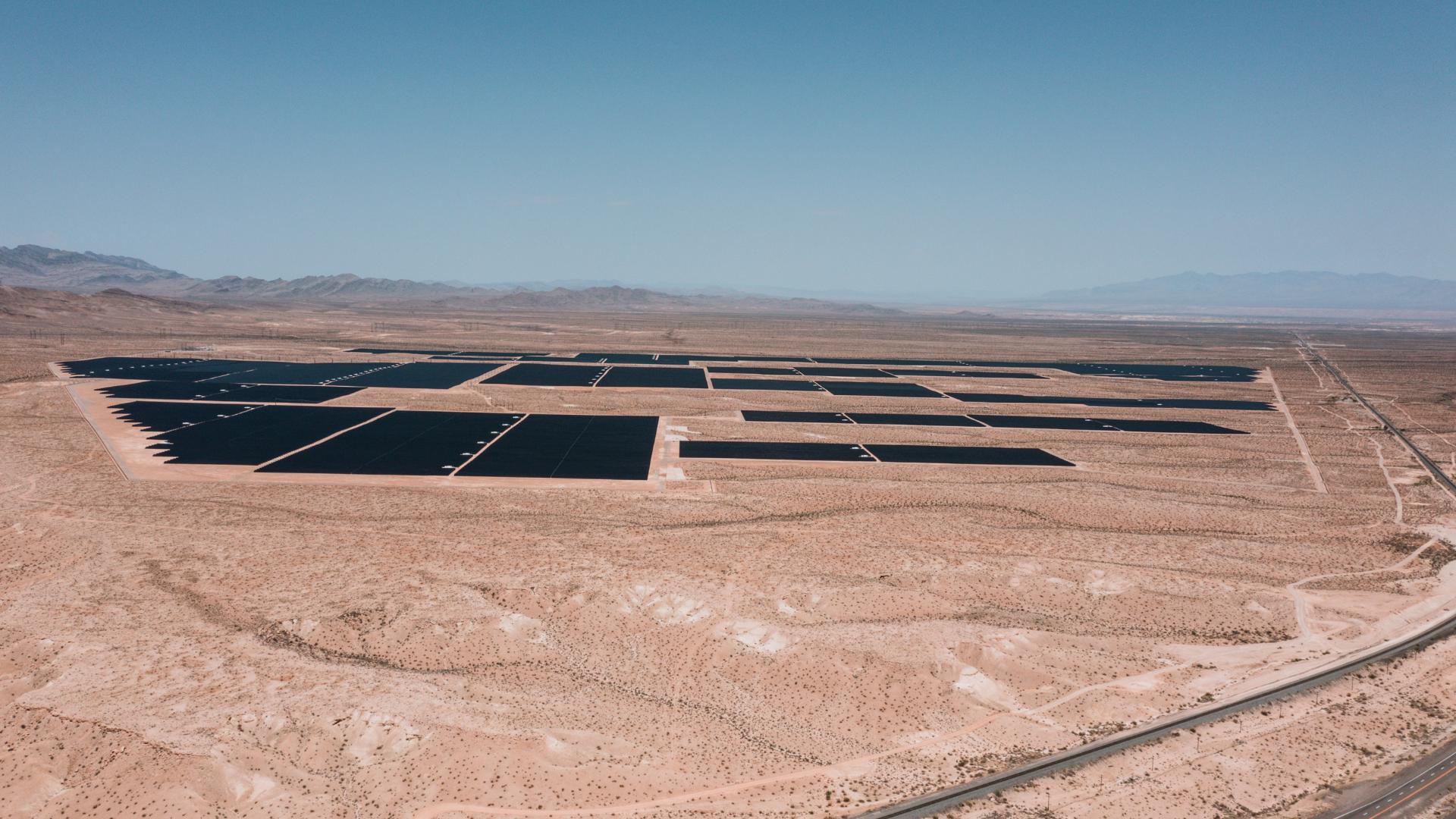
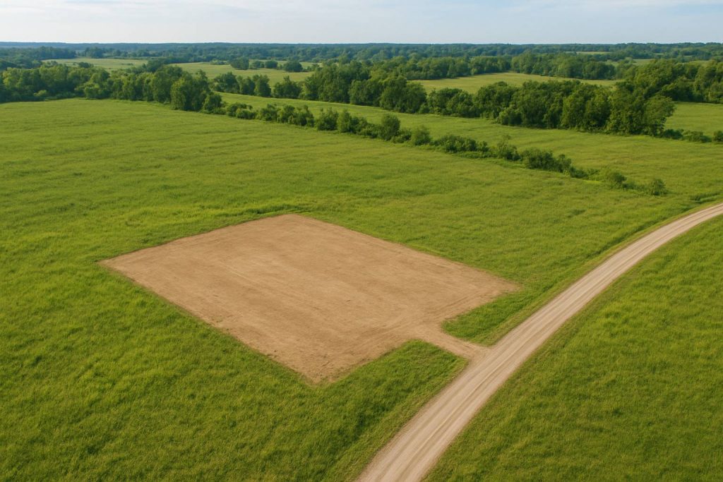
The foundation of every successful project begins with accurate data.
Before construction begins, developers face a critical challenge: understanding the true conditions of their site.
Horizonview’s aerial surveys deliver detailed RGB and thermal imagery, terrain models, and vegetation maps that inform design, layout, and permitting.
Our data products give engineers and EPCs the insight they need to:
Get the full picture of your site before design begins.
Using fixed-wing aircraft and high-resolution sensors, Horizonview collects overlapping RGB and infrared imagery to generate topographic and orthomosaic datasets with sub-meter accuracy.
These datasets help teams:
With reliable baseline data, developers can minimize redesigns, prevent grading errors, and accelerate project approval timelines.
Plan around natural obstacles before they become costly changes.
Vegetation and surrounding landscape features can significantly impact solar output and design efficiency. Horizonview’s aerial data provides high-resolution mapping of vegetation density and nearby shading objects—allowing engineers to optimize array layouts and electrical runs before breaking ground.
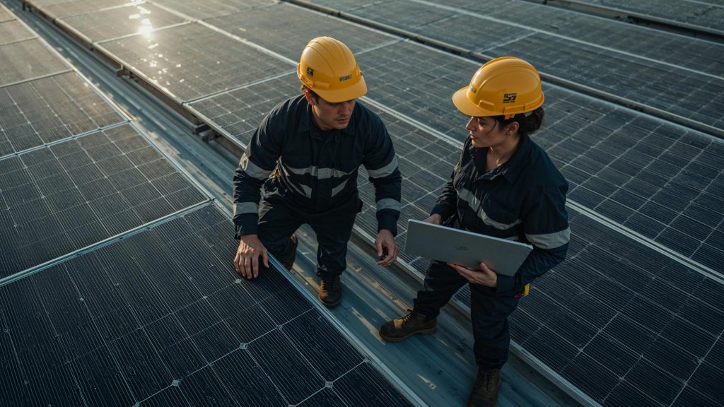
erify site readiness and catch costly mistakes before construction begins.
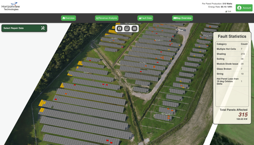
Horizonview’s aerial QA scans validate that every design element fits real-world conditions. We detect inconsistencies between design drawings and actual site features, ensuring accurate layouts and smooth handoff to construction teams.
The data you start with becomes the foundation for long-term performance.
Because Horizonview controls the full workflow—from capture to analytics to software—your planning data seamlessly connects to construction verification and ongoing operations.
With Horizonview, every stage of your project speaks the same data language.
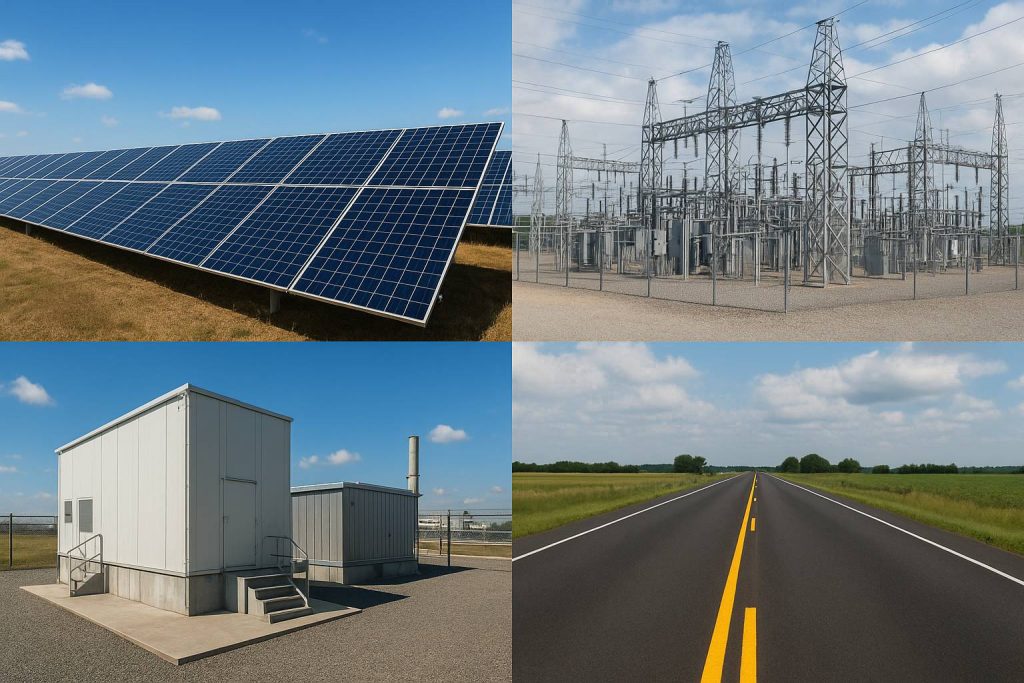
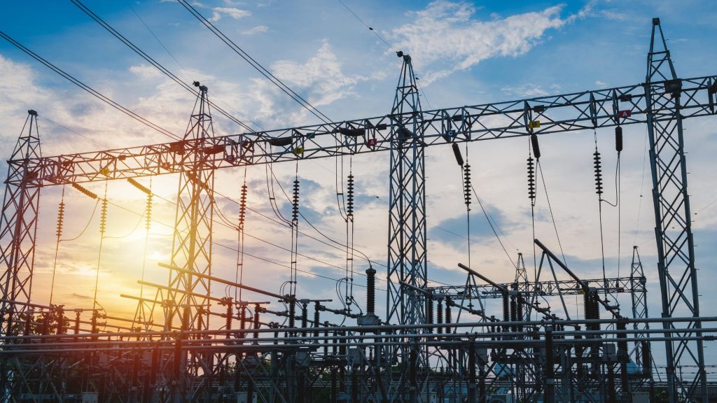
Our aerial mapping supports all forms of critical infrastructure development.
Our technology extends beyond renewable projects to serve broader infrastructure and industrial sectors:
Wherever high-accuracy site data is needed, Horizonview delivers a faster, clearer, and more scalable solution.