
From grading to commissioning, Horizonview provides clear, verifiable data that helps teams build faster, safer, and smarter.
Whether you’re constructing solar arrays, industrial facilities, energy infrastructure, or large commercial developments, our aerial imagery and analytics deliver the visibility your stakeholders need to stay aligned and on schedule.
Get a bird’s-eye view of your project — literally.
Our aerial data lets you track construction milestones with precision and share updates that everyone can trust. Fixed-wing coverage enables frequent documentation of large-scale projects — even spanning multiple regions — all stitched into a single visual timeline.
")
")
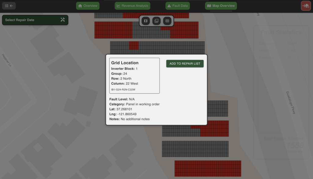
Identify issues early, document fixes confidently.
Quality control shouldn’t depend on guesswork or site photos. Horizonview’s aerial imagery reveals details invisible from the ground — misaligned structures, missing components, or deviations from design.
Deliver confidence at handover.
When the project reaches completion, clear documentation is critical.
Horizonview provides an auditable visual record of every component, collected during final inspection flights.
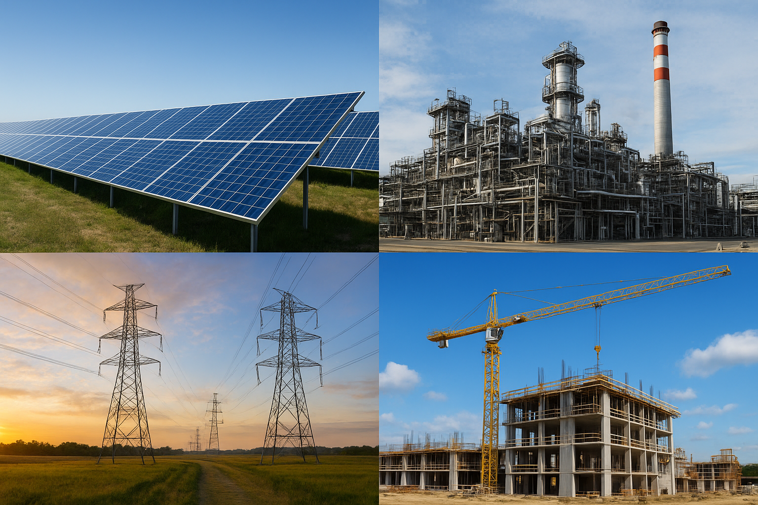
One workflow for construction across industries.
Our technology and workflow extend beyond solar power plants to support construction in multiple sectors:
Fast, flexible, large-scale coverage that's not limited by battery life or line-of-sight.
Uniform calibration and analysis across projects, ensuring accuracy and comparability.
Our Insight™ platform makes it easy to visualize data, identify issues, and generate reports.
From renewable energy to industrial construction, Horizonview delivers the same clarity and control.