Beyond Solar: Expanding the Power of Aerial Intelligence
Our orthomosaic-based inspection platform extends across industries — from energy infrastructure and utilities to industrial sites and data centers. Whatever your assets, Horizonview turns aerial imagery into actionable insight.
While Horizonview began in solar, our vertically integrated approach — from aircraft to analytics — makes our platform ideal for any large-scale asset that needs accurate, repeatable visual data.
Whether you manage utility networks, substations, wind farms, data centers, pipelines, or industrial facilities, Horizonview provides the same measurable, orthomosaic-based accuracy our solar partners depend on — across thousands of acres or hundreds of miles.
Actionable Intelligence for Complex Assets
Condition Monitoring
High-resolution IR + RGB imagery identifies heat signatures, corrosion, and mechanical wear before they cause costly downtime.
Change Detection & Mapping
Orthomosaic basemaps document site conditions over time, providing measurable change tracking and visual evidence for compliance.
Predictive Maintenance Insights
AI-driven analytics flag anomalies early, helping maintenance teams prioritize interventions and reduce unplanned outages.
Data That Stands Up to Scrutiny
Our orthomosaic workflow delivers 99.8 % spatial accuracy — giving engineering teams confidence in every pixel.
Unlike frame-by-frame image systems, our platform creates measurable, georeferenced datasets that integrate directly into enterprise software like IBM Maximo, ServiceNow, and GIS tools for automated maintenance workflows.
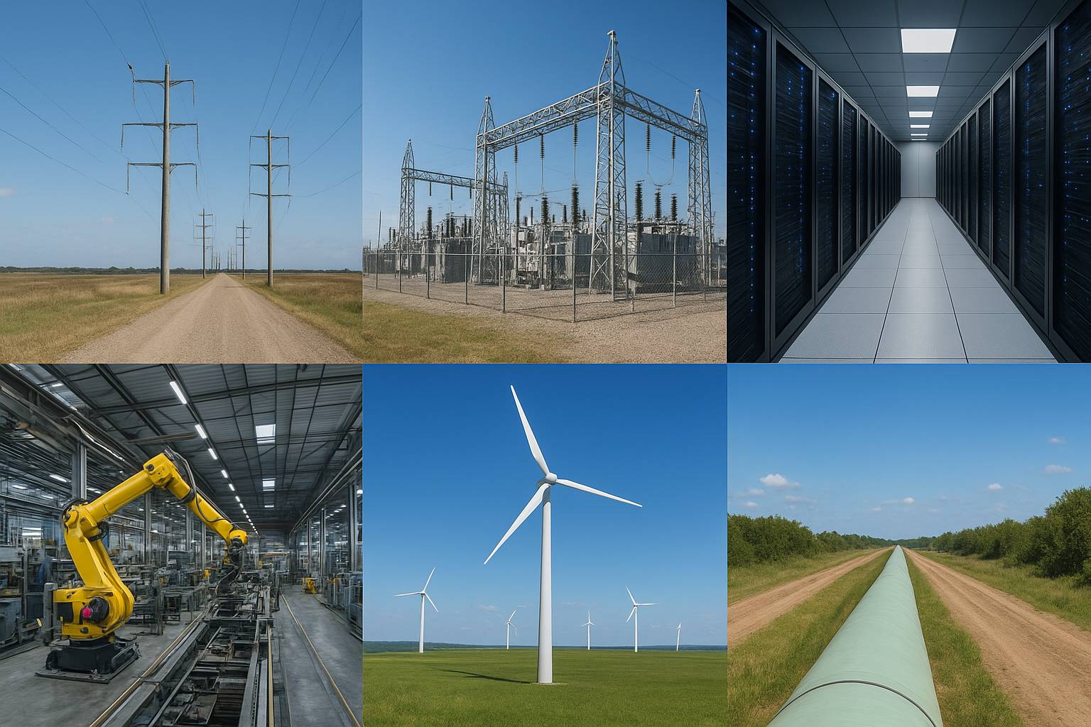
Applications Beyond Solar
Utilities & Power Distribution – Detect vegetation encroachment, asset degradation, and thermal anomalies.
Substations – Identify overheating components and map infrastructure in 3D detail.
Data Centers – Monitor roof equipment, cooling infrastructure, and nearby environmental risks.
Wind & Renewables – Inspect blades, towers, and site access with precision thermal overlays.
Pipelines & Transportation Corridors – Detect leaks, erosion, and encroachments over long distances.
From Sky to Insight™
Every project leverages Horizonview’s end-to-end data pipeline — combining fixed-wing aircraft capture, precision orthomosaic processing, and analytics delivery through our Insight™ platform. Data, insights, and maintenance actions stay unified in one secure environment.